Full-Property Imaging
Orthomosaic top-down and side-angle captures of any area needed — roofs, structures, land, or the full property. Consistent framing and naming throughout.
done right—fast, thorough, insured.
Professional drone surveys and condition reports for any part of your property. Evidence-grade photosets, clear summaries, and rapid turnaround.
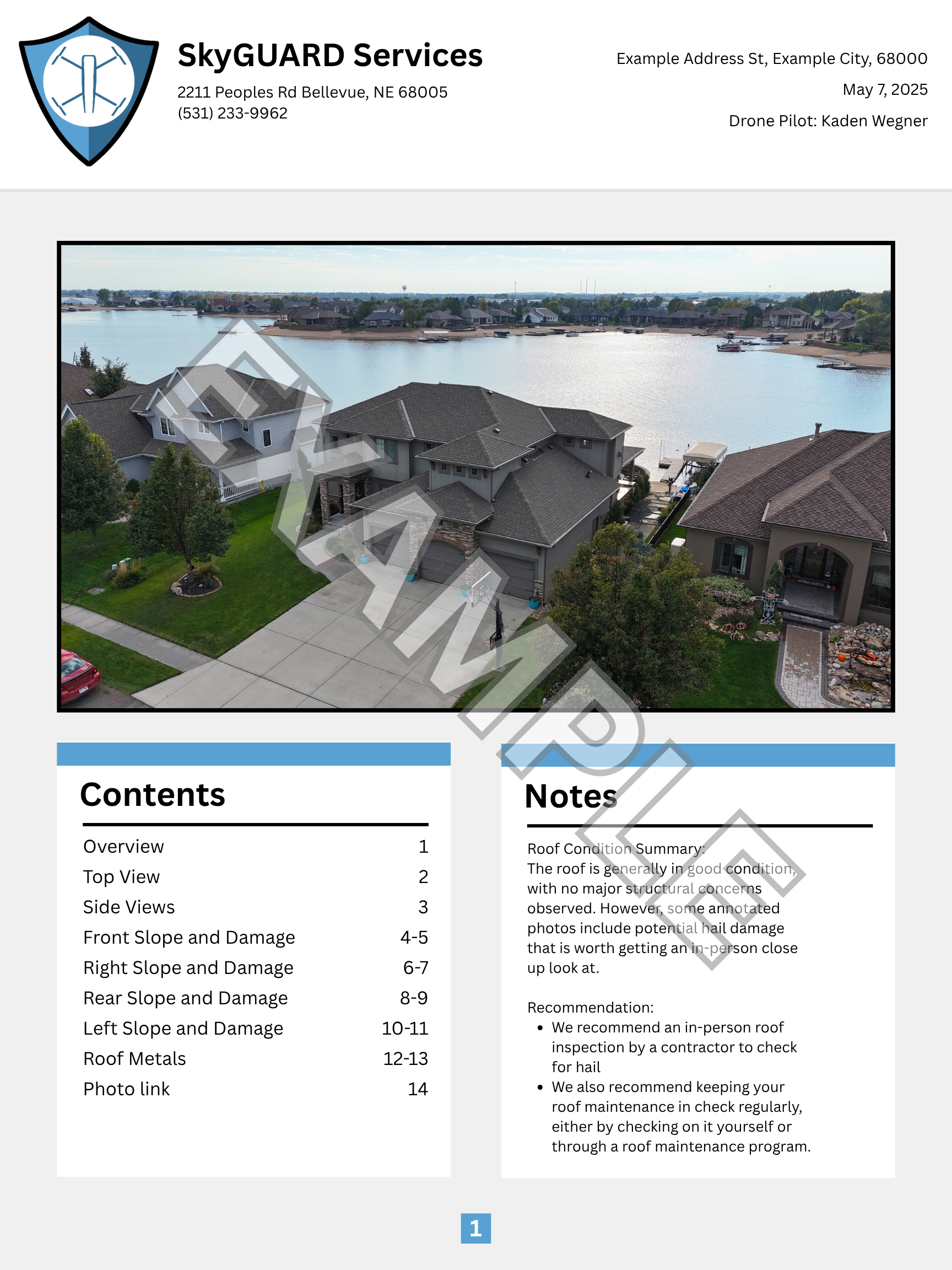
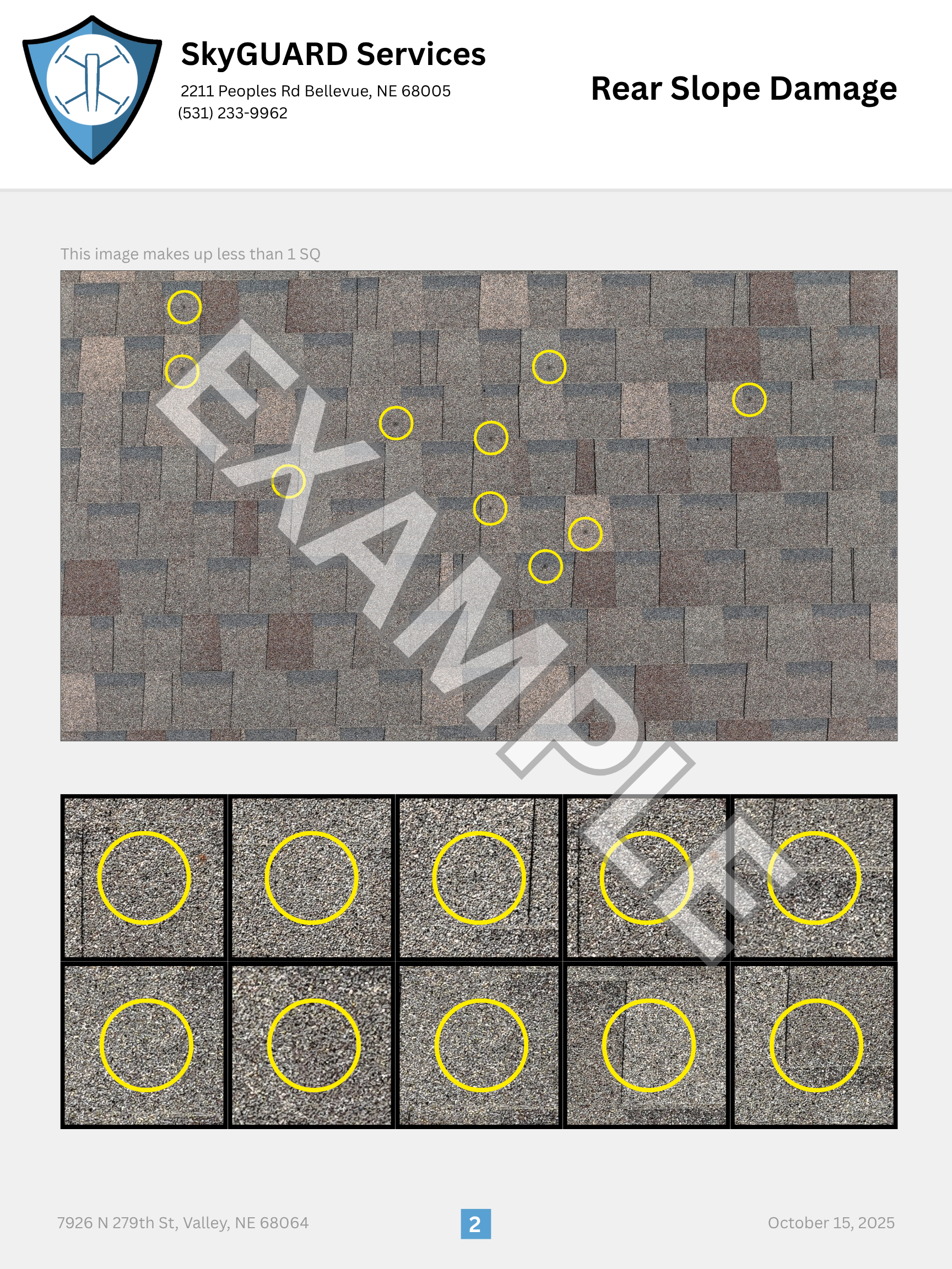
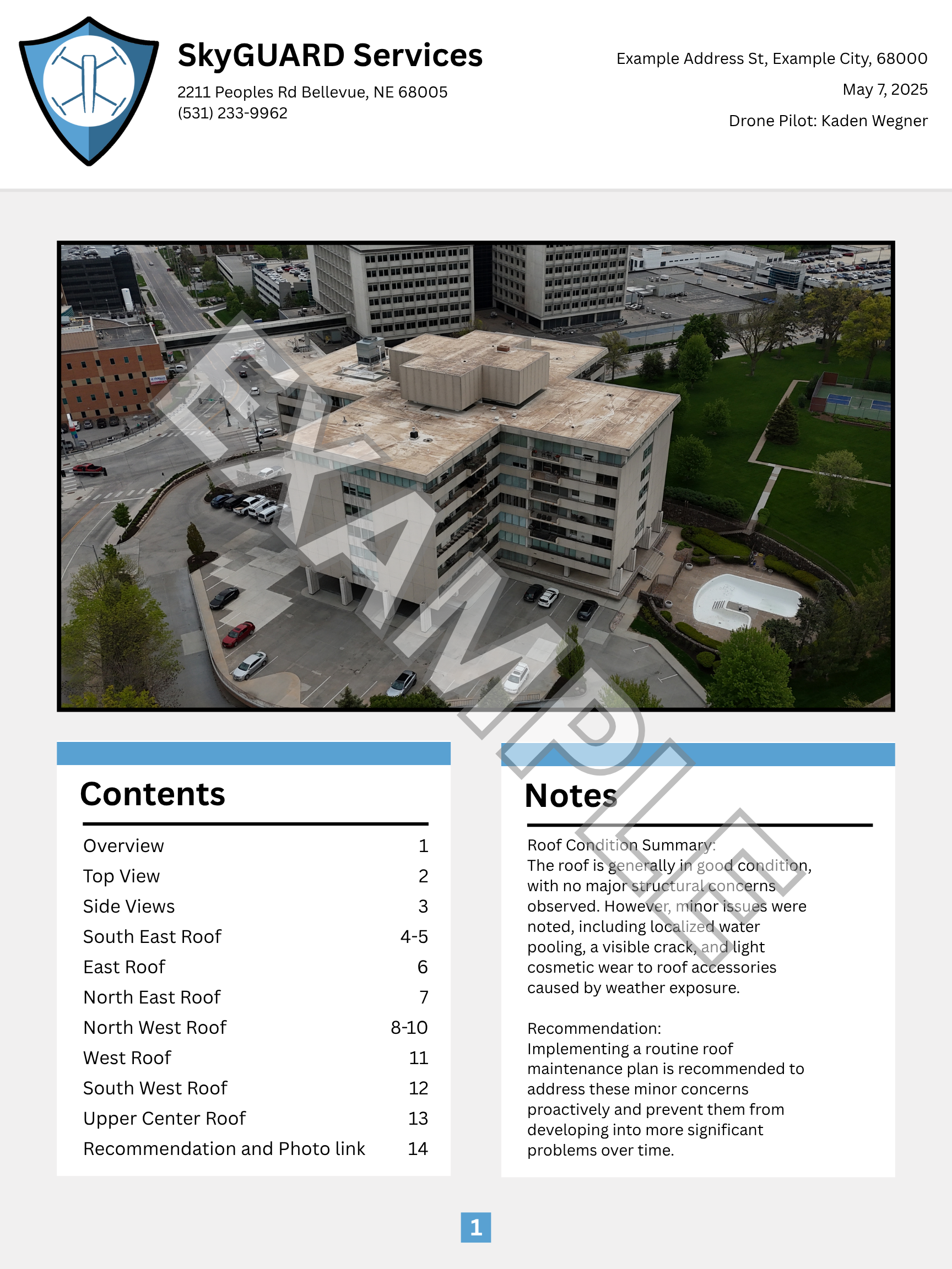
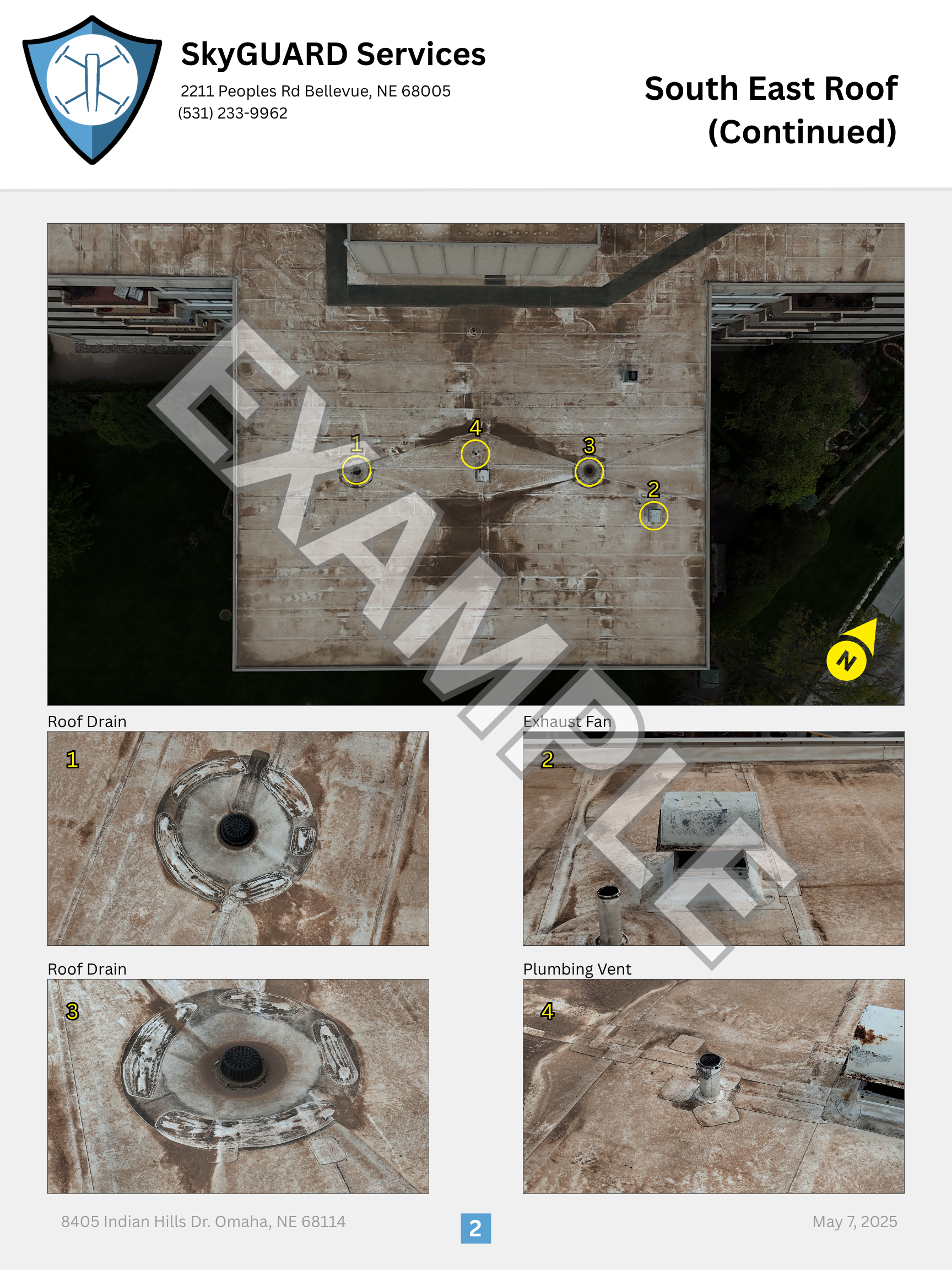
A peek at how deliverables are structured—clear, consistent, and easy to review.
Pick a time; confirm access and restrictions.
On-site flight plan; safe, consistent angles.
Sort, label, and summarize findings.
Shareable download link with originals and report.
High-resolution imaging and concise reporting designed to support decisions — roofs, structures, land, and more.
Orthomosaic top-down and side-angle captures of any area needed — roofs, structures, land, or the full property. Consistent framing and naming throughout.
Whatever needs a closer look — penetrations, seams, damage areas, structural features — shot lists tailored to your specific job.
Clear findings plus recommended next actions aligned to your goals (repair, replace, claim).
Labeled highlights plus a link to all unannotated originals for independent review.
Turnaround measured in hours; shareable download link for report and photos.
From single-family homes to large commercial properties—any structure, any scope, documented safely and consistently.
Yes. FAA Part 107 certified and commercially insured.
Often same-day; most jobs within 24–48 hours.
Within a 50-mile radius of central Gretna, Nebraska, including the Omaha metro.
We provide a shareable download link to the full photo set and the PDF report.
Choose Residential or Commercial in the widget below. Availability reflects your Google Calendar and time-off in Square.